 Growth Management Law Change
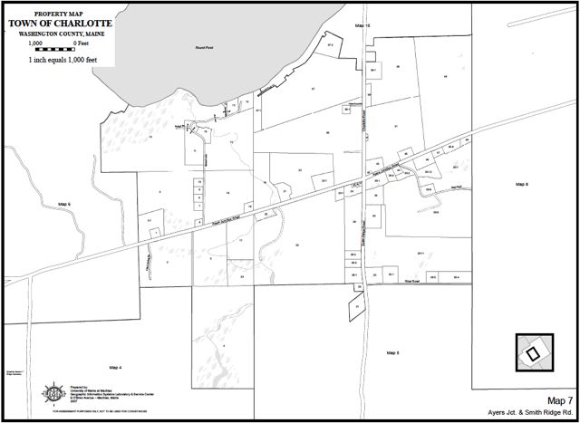
Paper vs. Digital Maps
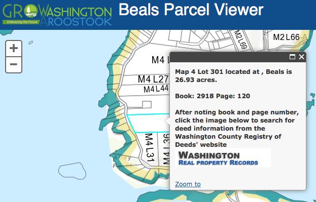
The Public Parcel Viewer maps for Washington County towns providea a view of the tax map parcels in digital format. 
There is a common misperception among municipal officials that having this digital information means that we have created updated tax maps for all towns.
The digital layer of tax map parcels is NOT THE SAME as having a complete set of paper tax maps for each town.
To create a complete set of parcel maps for a municipality (the paper tax maps housed in town assessors' offices) is a project that requires a few steps:
- The town-wide digital parcel map shapefile is exported for use by a consultant
- The consultant uses the shapefile to create a map template for how each parcel map will look on the printed page; these can be large format (24" X 36") sheets; tabloid (11" X 17") sheets; or standard document (8.5" X 11") paper
- Formatted parcel maps are generated into reproduceable PDF documents according to the municipality's size specification(s)
- PDF documents of each parcel map are printed and bound according to municipal needs and specifications
 An added benefit to having digital information: a municipality can have their parcel maps printed with other data layers, like Shoreland Zoning, printed directly on the parcel maps.
Data can be added to the existing digital layer of information and the University of Maine at Machias GIS Service Center is making a long term commitment to keeping it up to date and as useful to communities as possible. If you find errors, have updates or if your town needs a list of consultants who can assist you with creation of updated parcel maps please contact Judy East or Tora Johnson.

Share this content: